Salmon La Sac is Cascade’s most challenging map of all, both physically and navigationally.
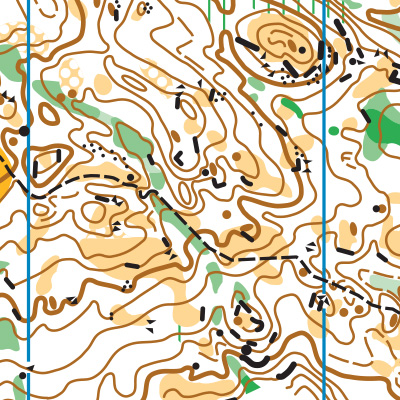
The glaciated terrain produces incredibly detailed topographic features, which orienteers on Advanced courses must rely on, since trails are sparse. Plus, there are hundreds (thousands?) of point features, requiring detailed navigation to find. Add to that, Salmon La Sac is the steepest venue in the Cascade map catalogue, and off-trail travel is rocky and uneven.
Salmon La Sac is a beast of a venue, but it is also one of the most beautiful. High points on the course can surprise you with long vistas, and clearings are often bare rock covered in springy moss that you’ll want to stop and have a picnic on.
You may take much longer on a course at Salmon La Sac than you could have imagined, but if you bring water and snacks, it will be a welcome adventure.

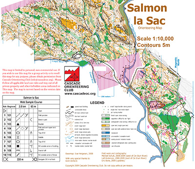
Note: Samples of the map are provided here for educational purposes only; the map shown here is not kept up-to-date. The course shown is a Beginner/Intermediate course, and actual controls do not exist in the terrain.
The purpose of providing these navigational and physical ratings below is to provide greater context for how challenging an orienteering course at this venue might be. For example, an advanced-level course at a local city park will be easier to complete than an advanced-level course in the mountains.

