2026-27 Winter League #1 – Woodland Park
- Pre-registration is required for ALL Winter League Events. There is NO day-of-event registration.
- Public Reg will close 11/4/26 at 11:59 pm for this meet.
- PUBLIC start time sign-ups are now part of the Public registration site (see under your Current Registrations). Sign-ups are open from October 17th at 3 pm to Nov 4th at 11:59 pm.
- ALL runners will be called to enter the start procedure line 6 minutes prior to their assigned/picked start time. Please be race-ready when your name is called.
- 2026-27 Start Procedures are here.
- 2026-27 WIOL Rules are here and the 2026-27 Public Rules are here.
- Site map will be posted here when finalized.
- Start list is will be posted here when finalized.
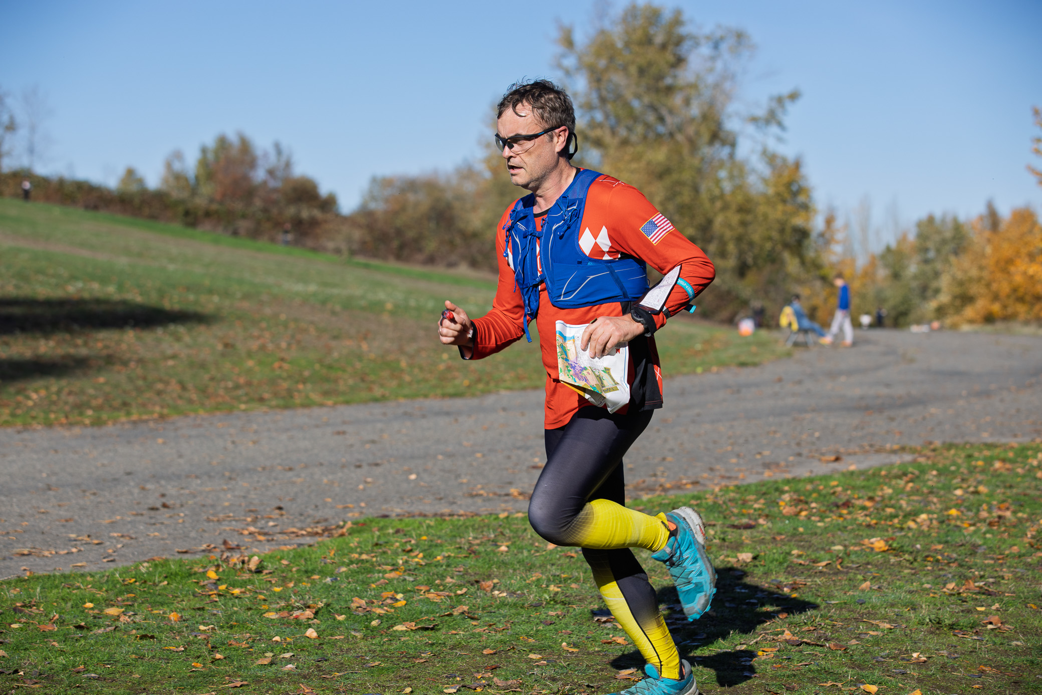
Winter League is the Pacific Northwest’s premier competitive orienteering series for all ages.
- Elementary, Middle School, High School and College students compete under the banner of the Washington Interscholastic Orienteering League (WIOL).
- Winter League public courses offer a range of categories from a competitive long advanced category to non-competitive beginner-friendly categories at every event!
COURSES
Course designer(s): Chris Whitmyre & Pat Kelly
Public Courses:
|
Course |
Controls |
Length |
Climb |
|
Beginner |
11 |
1.0 km |
30 m |
|
Advanced Beginner |
13 |
1.8 km |
75 m |
|
Intermediate |
16 |
2.6 km |
80 m |
|
Short Advanced |
16 |
4.0 km |
160 m |
|
Long Advanced |
19 |
4.7 km |
180 m |
WIOL Courses:
|
Course |
Controls |
Length |
Climb |
|
Elementary |
11 |
1.0 km |
30 m |
|
Middle School |
13 |
1.6 km |
50 m |
|
Rookie Female |
13 |
1.8 km |
75 m |
|
Rookie Male |
15 |
1.8 km |
75 m |
|
JV Female & Collegiate JV |
16 |
2.6 km |
80 m |
|
JV Male |
16 |
2.7 km |
90 m |
|
Varsity |
16 |
3.7 km |
100 m |
|
Collegiate Varsity |
19 |
4.7 km |
180 m |
How are courses measured?
Courses are measured as the crow flies, in a direct line from control to control. Unless you have wings, you will travel farther than this distance! Courses are measured in kilometers, so a good rule of thumb is to simply round up to miles to estimate how far you will go. So in a 5 kilometer race, you’ll likely travel up to 5 miles.
COURSE NOTES from Chris and Pat
Welcome to the first Meet of WIOL/Winter O 2026. Woodland Park is a fast and furious venue with a surprising amount of detail. Scale for this event is 1 / 4000 with a Contour Interval of 2.5 meters. Due to the relatively compact size of the park, the Advanced Courses (Varsity, Short Advanced, and Long Advanced / College Varsity) will have a map flip.
Please note the following:
1. This is a multi-use park. Please be respectful of others. Also, be aware of bicyclists riding fast on both paved and trail areas. Look around when approaching paved areas and trail crossings.
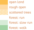
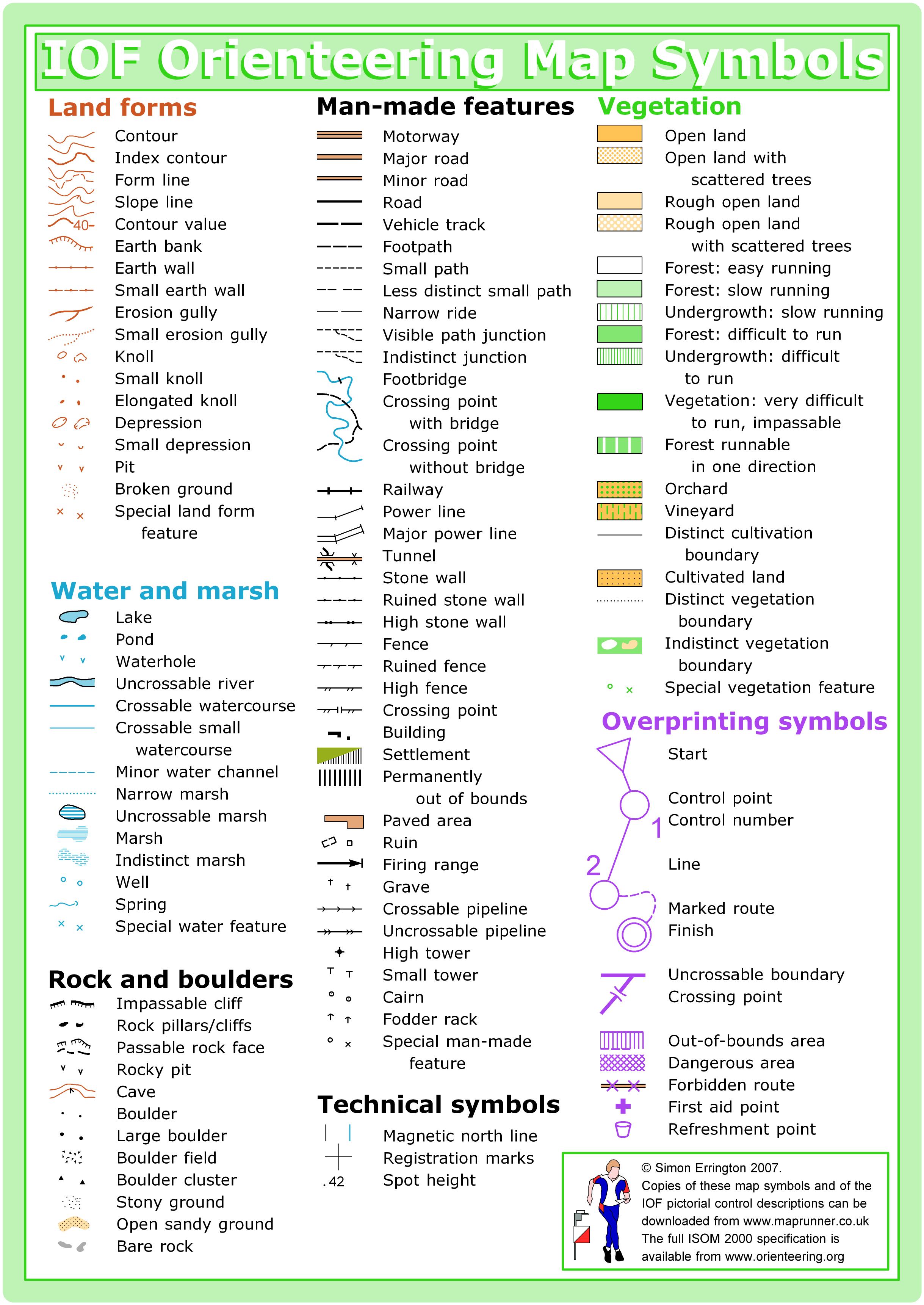
2. There are quite a few areas shown as Out of Bounds (either over-shaded with Olive Green or with Pink Cross-hatching). It is imperative that we avoid transiting these areas. Failure to do so will result in your Disqualification, and possible loss of use of this venue. Areas include baseball fields, soccer fields, tennis courts, dog park, and lawn bowling areas. Also included in Out of Bounds areas are a large newly planted area in the Northern portion of the map (un-fenced), a steeper hillside area, the skate park, and a bike jump zone. Additionally, if you encounter newly planted trees (scattered about the park) please run around these areas.
3. Marked Trails going through O/B areas are OK; as long as you stay on the trail.
4. Some citizens have made camp in a few places in the park. Courses have been designed to avoid these areas.
5. Mapping Team Member Anna Zaster has spent significant time updating the map. Trails and features on the map will be accurate. Having said that, be aware that new trails are being added by the mountain bikers almost every week and we have not been able to capture these last-minute additions. Vegetation has also evolved. Anna updated vegetation in areas near control locations, but not necessarily the entire park.
6. Some Stumps (shown on the map as Green X’s) may have some branches sprouting out of them. Navigate to the location and you will be rewarded with seeing a distinctly cut off ‘stump’. Rootstocks will be indicated on the map as Brown Triangles.
7. Not all Fallen Trees are mapped unless they have at least some semblances of rootstock, in which case they are mapped as Rootstocks.
8. Each of Course 1 (Beginner/Elementary), Course 2 (Middle School), Course 3 (Advanced beginner/Rookie Female), and Course 4 (Rookie Male) will have one control with a ‘partially flagged route’. On the map, the purple line between controls will be dashed. On the Control Descriptions it will indicate the length of pin flagging. In the field, you will see pin flags in the ground along this route.
SCHEDULE
This event is Pre-Registration Only.
Tentative Schedule:
8:30 am – Info tent and newcomer instruction opens
8:30 am – WIOL packet pickup opens
9:00 am – Free training opens
9:38 am – Start process begins
9:42 am – First start
10:30 am – WIOL packet pickup is moved to Info Tent
12:30 pm – Last start
2:30 pm – Course closure
Why is there a start window?
This event uses an interval start, which means that participants are started in waves instead of all at once. When you arrive at the start tent, find the chute for your course and follow the start volunteer’s instructions.
PRICES
PRE-REGISTRATION PRICES
$22 base price
– subtract $5 for CascadeOC members
– subtract $5 for using your own e-punch
Participating as a group? Just $5 for each additional adult (18+) group
member, no cost for additional minors. Max group size is 4 participants.
What’s an e-punch?
An e-punch records your race. At each control, you’ll dip the e-punch into an electronic box, which will beep and flash as confirmation. After you finish, you’ll download the e-punch at the download tent and get a receipt that show which controls you visited and how long you took between each; these are your “splits.”
Part of the fun of orienteering is comparing your splits with people who completed the same course, and discussing the routes you took!
SIGN UP
There is no Day-of-Event registration. Pre-registration will close Wednesday 11/4/2026 at 11:59:00 PM.
Remember to also sign up for a start time for public runners. Start time sign-ups for WL #1 will be open from October 17th at 3 pm to Nov 4th at 11:59 pm.
LOCATION
PARKING
Parking will be located in the large gravel lot in the southwest corner of the park, accessed from N 50th St. Overflow parking on the side streets south of 50th Street. NO parking inside the park or at the ballfield parking.
CARPOOL
Looking for a carpool? Join the club email group and share your request to find a ride.
THE MAP
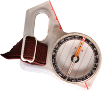
Woodland is a wide-open park of gently rolling hills (lots of them), mowed grass, and runnable forests, interlaced with paved and gravel trails. It is a popular cross-country venue for its varied terrain and fall colors, and popular orienteering venue for the same reasons. It is the location for the club’s National Orienteering Week event each year, and a great place to start practice contour recognition and compass skills.
Read more on the map pageSAFETY & ETIQUETTE
Return to the Finish
All participants MUST return to the finish and download their e-punch or turn in their punch card.
Even if you have not finished your course, you must still return to the the finish and confirm with event staff that you have returned safely.
Out of Bounds
Some areas may be marked out of bounds. It is imperative to respect these boundaries to maintain our relationships with land managers. Participants MUST NOT go out of bounds. Any participant caught going out of bounds will be disqualified.
Course Closure
All participants MUST return to the finish by course closure time. If a participant does not return by course closure, event volunteers will begin coordinating a search party.
If you need a long time on the course, start as early in the start window as possible, wear a watch, and be prepared to cut your course short to make it back by the course closure time.
Whistle
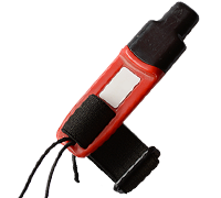
All participants MUST carry a whistle on the course. Complimentary whistles are available at the start tent (please only take one).
If you are injured on the course and need assistance, blow three long blasts to call for help.
If you hear a call for help, abandon your course to find the person in distress.
Voices
Part of the fun and fairness of orienteering is navigating your own course, so please be polite when you find a checkpoint and don’t holler that you’ve found it.