Orienteering Training Clinics – Day 2 of 2
We have a great set of training clinics planned for the second weekend in March! Each day of this clinic will offer three trainings sessions that focus on a specific orienteering skill to help you improve your navigation. Unlike an orienteering race, during these sessions we encourage you to slow down, practice the skill, and discuss with your fellow orienteers. We’ll end each day with a fun race to put your new skills to work.
This camp is open to orienteers of all ages and experience levels. We offer just two levels of training:
Beginner is appropriate for anyone! Those who are eager to spend more time on the map and learn to from an experienced instructor will take a lot away from one or both of these training days.
Intermediate is appropriate for anyone who has completed one or more intermediate level courses and is ready to learn more about the technical aspects of navigation. It will also provide a good opportunity for advanced orienteers to revisit skills and hopefully learn something new.
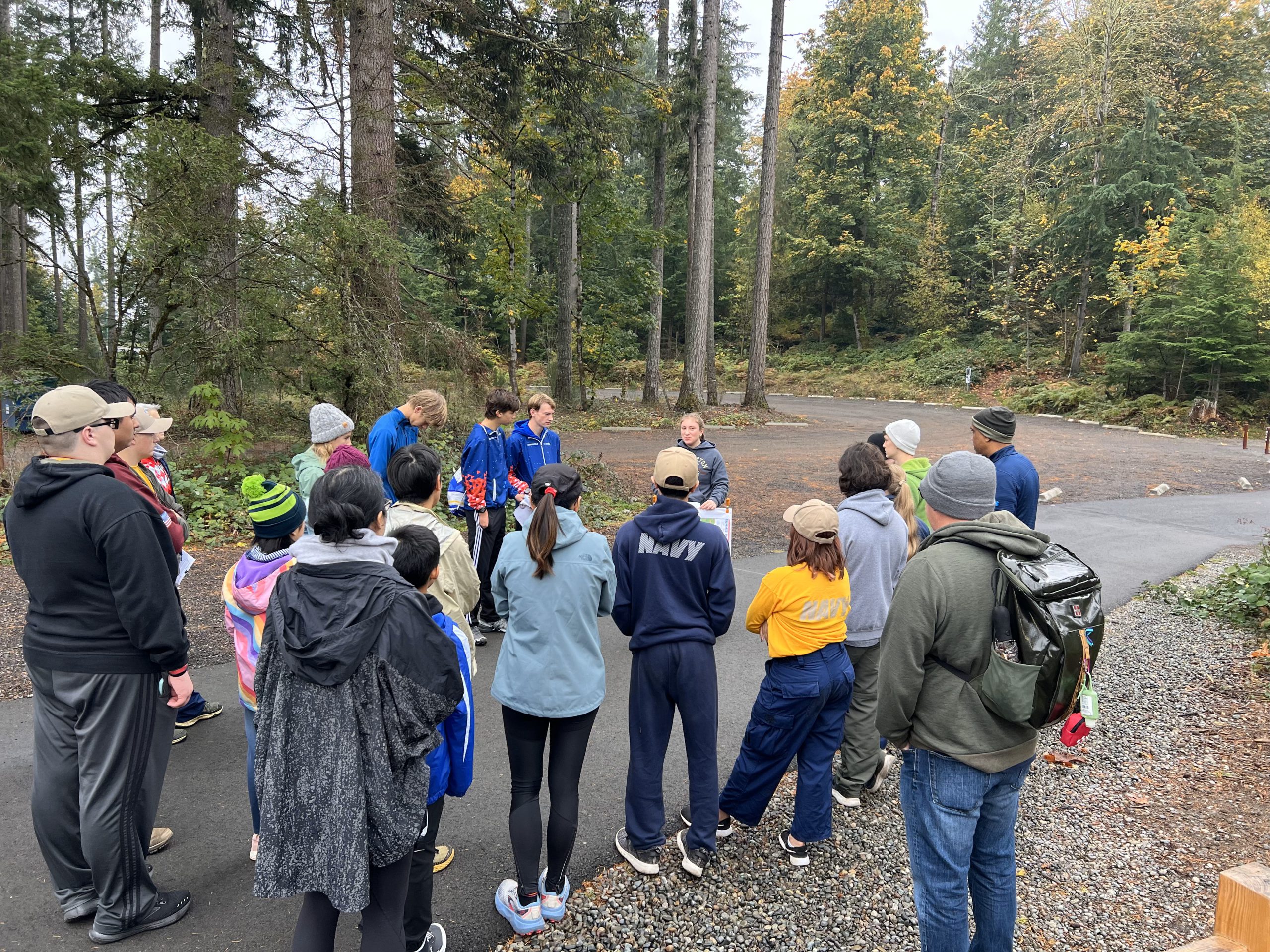
Day 2 of the training clinics will be at Dash Point State Park. Check-in opens at 9am, and the last session will end at 4pm.
Have you tried a couple orienteering courses and want to learn more? Sign up! Planning to go to Junior Nationals later in March and want to gear up? Sign up! Have no plans yet for March 8th and 9th and want to hang out? Sign up!
COURSES
Course designer(s): Caroline Sandbo
Orienteering training generally takes a more relaxed pace than races. These clinics will involve a lot of walking and slow navigation. You may feel compelled to run some during the sessions and especially during the relay, but the day as a whole should be more navigationally rigorous than physically!
People attending the beginner-level sessions should expect to do 3-5 miles of orienteering throughout the day.
People attending the intermediate-level sessions should expect to do 4-6 miles of orienteering throughout the day.
COURSE NOTES
Dash Point State Park is the epitome of a Puget Sound park: it’s got beaches, forests, and a couple of steep hillsides. the training sessions we have designed for this park make the best use of the terrain it offers.
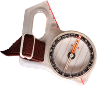
For this training day, you’ll need to bring your compass and whistle, but not your epunch. You’ll also be glad you brought a water bottle, lunch, and layers for the variable March weather.
SCHEDULE
Check-in opens at 9 am. Please arrive by 9:45 to check in, or 9:30 to receive some beginner introduction.
| Session and time | Beginner | Intermediate |
|---|---|---|
| Session 1 10 AM - 11 AM | Route choices | Relocating |
| Session 2 11 AM - 12 PM | Collecting features | Catching features |
| Lunch | Bring your own! | Bring your own! |
| Session 3 1 PM - 2 PM | Memory and contours | Memory and contours |
| Session 4 2 PM - 4 PM | Downhill victory run and control pick-up | Downhill victory run and control pick-up |
I highly encourage you to attend a whole day (or both days!) of training to get the most benefit and spend time socializing with fellow orienteers. If you are unable to attend all four sessions, please send me at email at cascadeotraining@gmail.com to arrange a partial day of training.
PRICES
PRE-REGISTRATION PRICES
$12 or 3 volunteer points
Day-of registration will not be available. Online registration closes 11:59pm on March 6th.
This event requires no epunch.
SIGN UP
Online pre-registration closes: March 6th at 11:59pm or when the 60-person-per-day limit is reached.
LOCATION
PARKING
You will need a Discover Pass to park at Dash Point.
We will be based out of the picnic point area. See the location here on Google Maps.
CARPOOL
Looking for a carpool? Join the club email group and share your request to find a ride.
THE MAP
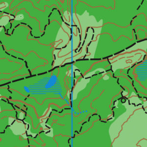
Dash Point Park is like three navigational areas merged into one heavily-wooded map: (1) The lower, light green hillside area near the parking, (2) the upper, flat campground area and associated trails, and (3) the hillside trail network at the south end of the park.
This 1:10,000 map is spacious enough that it is used for our largest events (Winter O’ and WIOL school league). Another organization uses it for mountain bike races, based out of the southern end that now has a trail head facility. This map has a permanent course.
Read more on the map pageSAFETY & ETIQUETTE
Return to the Finish
All participants MUST return to the registration table and check out.
Even if you have too leave before the end of the training day, you must still return to the registration and confirm with event staff that you have returned safely.
Out of Bounds
Some areas may be marked out of bounds. It is imperative to respect these boundaries to maintain our relationships with land managers.
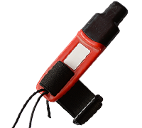
Whistle
All participants MUST carry a whistle on the course. Complimentary whistles are available at the start tent (please only take one).
If you are injured on the course and need assistance, blow three long blasts to call for help.
If you hear a call for help, abandon your course to find the person in distress.
Voices
Part of the fun and fairness of orienteering is navigating your own course, so please be polite when you find a checkpoint and don’t holler that you’ve found it.


